Another winter storm is expected to bring more snow to the Midwest, further affecting holiday travel that was already disrupted by weather in the region. The storm is then forecast to head for the Northeast, bringing a mix of snow and ice early this week.
The storm will span nearly two dozen states, from Kansas to Maine. As of Monday, over 75 million people in the U.S. are under some form of active winter weather alert, according to the National Weather Service.
Here’s what to expect in each region as the winter storm takes shape, including total snow amounts.
Plains
On Monday, parts of the Plains are under winter weather advisories, issued by the NWS, which are in effect through this evening. The region is forecast to receive between 2 and 4 inches of snow north of Interstate 35 and between 1 and 2 inches south of Interstate 35, with parts of Oklahoma and Arkansas expected to receive light sleet or freezing rain. Slippery road conditions could impact the evening commute.
Midwest
The Midwest is forecast to see snow from this winter storm on Monday or Monday night, according to the Weather Channel. Winter weather advisories issued by the NWS are also in effect in parts of the region. Most areas are expected to receive light to moderate snowfall, with accumulations of 1 to 3 inches. Some areas may see more snow than others. The Monday evening and Tuesday morning commutes could be affected by slippery travel conditions.
Northeast
A winter storm watch is in effect for parts of Pennsylvania, New York, Massachusetts, Vermont, New Hampshire and Maine, meaning heavier snowfall is possible in these areas.
"The rain vs. snow line is expected to come close to the Interstate 95 corridor between Monday night and Tuesday,” said AccuWeather meteorologist Brandon Buckingham. “A slight shift in the storm track farther offshore could help to pull in cold enough air for snow to occur in places like Philadelphia, New York City and Boston.”
The heaviest snow amounts of 6 inches or more are possible on Tuesday from the Hudson Valley north of New York City into New England. Parts of Massachusetts, southern New Hampshire and southern Maine could experience localized snowfall totals of up to a foot, according to meteorologists.
"Just on the other side of the rain/snow line, where the colder air is more dominant, a zone of 3-6 inches of snow is possible across eastern Pennsylvania, upstate New York and across portions of New England," Buckingham added.
Travel will be challenging on Tuesday and Tuesday night, with snow-covered roads expected to affect the morning commute on Wednesday.
LATEST POSTS
- 1
 Palestine weekly wrap: Protests sweep West Bank after death penalty law
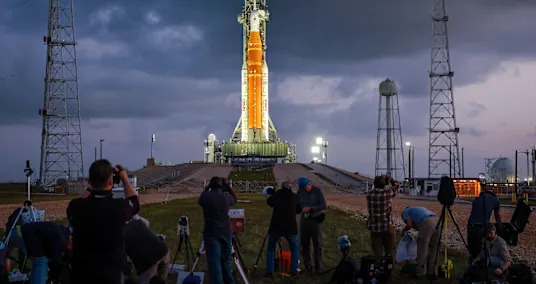
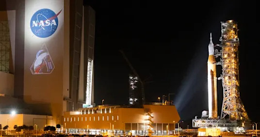
 - 2NASA's Artemis 2 moon launch may be visible from Florida and southern Georgia today. Here's when to look
- 34 astronauts depart ISS, leaving behind just 3 crewmates to staff the orbiting lab
- 4Damaged Shenzhou-20 spacecraft to return to Earth uncrewed for inspection
- 5Very good quality Greens All over The Planet


- Tzrifin base exhibition reveals Hamas and Hezbollah arms, showing structure behind attacks
- If evolution is real, then why isn’t it happening now? An anthropologist explains that humans actually are still evolving
- The Artemis II launch is tonight. Here's how to watch it live.
- The most effective method to Pick the Best Material Organization: Insider Tips
- 4 Coolers for Present day Kitchens
- Geminid meteors streak under green sky | Space photo of the day for Dec. 19, 2025
- The Most Enrapturing Authentic Milestones to Visit
- Kristin Cavallari was the teen queen bee of 'Laguna Beach.' Now she's a 'cringey' mom.
- NASA wants to build a base on the Moon by the 2030s – how and why it plans to build up to a long-term lunar presence